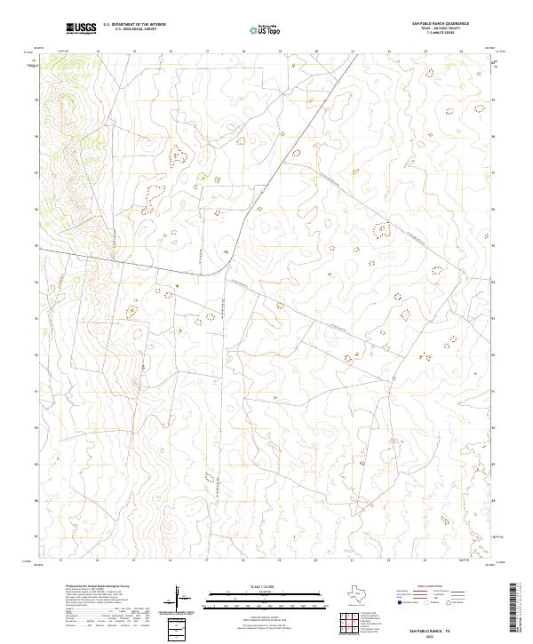
2022 Map of San Pablo Ranch
USGS Topo · Published 2022About this map
Jim Hogg County ranching land defines this 2022 survey, where a network of private and local roads connects expansive South Texas properties. The landscape is marked by the long reaches of Gallagher Ranch Rd and Lytton Ranch Rd, which navigate the subtle changes in elevation across this brush country. Unlike many developed areas, this map reveals a territory primarily organized by large-scale landholdings rather than dense settlements. Access routes such as El Milagro Ranch Rd and Jesus Maria Rd follow the terrain and property boundaries, illustrating the enduring rural character of this region. Family names attached to these thoroughfares, including San Rafael Rd and La Motta Ranch Rd, provide a window into the genealogical and ownership history of this specific portion of the Texas borderlands.
Find a feature on this map
6 named features on this map. Tap any name to fly to it.
Don’t see what you’re looking for? This feature index may not catch every label — zoom into the map to look around manually.
Map Details
Editions of this 2022 San Pablo Ranch Map
This is the sole edition of this map. No revisions or reprints were ever made.
Other maps of this area

1938 · Agua Nueva
USGS Topo · 1:62,500

1938 · Cuevitas
USGS Topo · 1:62,500

1939 · Randado
USGS Topo · 1:62,500

1940 · Randado
USGS Topo · 1:62,500

1949 · Mc Allen
USGS Topo · 1:250,000

1954 · McAllen
USGS Topo · 1:250,000

1956 · Laredo
USGS Topo · 1:250,000

1957 · Mc Allen
USGS Topo · 1:250,000

1962 · McAllen
USGS Topo · 1:250,000

1972 · Armstrong Ranch
USGS Topo · 1:24,000