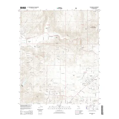
2015 Map of San Pasqual
USGS Topo · Published 2015About this map
San Pasqual Valley serves as a primary geographic focus, where the waters of Santa Ysabel Cr and Guejito Cr converge. This 2015 survey illustrates the modern configuration of the community of San Pasqual, positioned north of the winding San Pasqual Valley Rd. Further east, the town of Ramona occupies the Santa Maria Valley, showing a distinct grid of streets and the presence of the Ramona Airport.
Find a feature on this map
130 named features on this map. Tap any name to fly to it.
Don’t see what you’re looking for? This feature index may not catch every label — zoom into the map to look around manually.
Map Details
Editions of this 2015 San Pasqual Map
This is the sole edition of this map. No revisions or reprints were ever made.
Other maps of this area

1893 · El Cajon
USGS Topo · 1:62,500

1893 · Escondido
USGS Topo · 1:62,500

1901 · Elcajon
USGS Topo · 1:62,500

1901 · Escondido
USGS Topo · 1:62,500

1901 · San Luis Rey
USGS Topo · 1:125,000

1903 · Cuyamaca
USGS Topo · 1:125,000

1903 · La Jolla
USGS Topo · 1:62,500

1903 · Elcajon
USGS Topo · 1:62,500

1903 · Ramona
USGS Topo · 1:125,000

1904 · Southern California Sheet No. 2
USGS Topo · 1:250,000