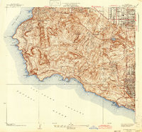
1942 Map of San Pedro Hill
USGS Topo · Published 1942About this map
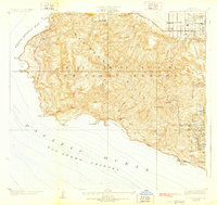
San Pedro Hill rises as the dominant height of the Palos Verdes Hills in this 1940s-era survey, overlooking the vast expanse of the Pacific Ocean and the San Pedro Channel. The map documents a landscape in transition, where early planned residential communities like Palos Verdes Estates and Rolling Hills are emerging along the winding routes of Palos Verdes Drive North and Palos Verdes Drive West.
Find a feature on this map
40 named features on this map. Tap any name to fly to it.
Don’t see what you’re looking for? This feature index may not catch every label — zoom into the map to look around manually.
Map Details
Editions of this 1942 San Pedro Hill Map
This is the sole edition of this map. No revisions or reprints were ever made.
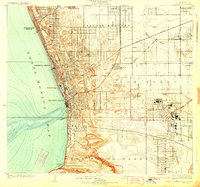
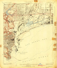
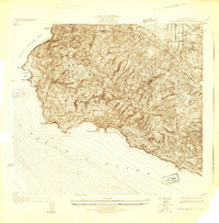
Other maps of this area

1896 · Redondo
USGS Topo · 1:62,500

1896 · San Pedro
USGS Topo · 1:62,500

1901 · Southern California Sheet No. 1
USGS Topo · 1:250,000

1904 · Southern California Sheet No. 1
USGS Topo · 1:250,000

1923 · Wilmington
USGS Topo · 1:24,000
1924 · Torrance
USGS Topo · 1:24,000

1924 · Compton
USGS Topo · 1:24,000
1925 · Wilmington
USGS Topo · 1:24,000
1925 · San Pedro Hills
USGS Topo · 1:24,000
1928 · San Pedro Hills
USGS Topo · 1:24,000