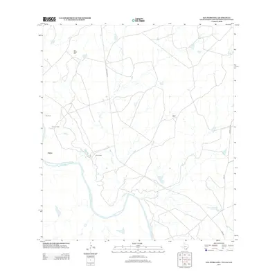
2013 Map of San Pedro Hill
USGS Topo · Published 2013About this map
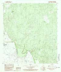
Palafox and the international border along the Rio Grande define this South Texas landscape in the Webb County brush country. This survey illustrates a region largely partitioned into expansive cattle operations, including the Miller Ranch, Alexander Ranch, and Perone Ranch. The terrain is characterized by the prominent elevation of San Pedro Hill and the winding drainage of Carricitos Cr, which feeds toward the river. Historical transport and industrial access are represented by Mines Rd and Ranch Road 1472, tracing the connectivity of this borderland area. Farther east, the remote Wayne Ranch and the specifically numbered Johnson Waterhole Number One indicate the vital importance of water management in this arid environment.
Find a feature on this map
13 named features on this map. Tap any name to fly to it.
Don’t see what you’re looking for? This feature index may not catch every label — zoom into the map to look around manually.
Map Details
Editions of this 2013 San Pedro Hill Map
This is the sole edition of this map. No revisions or reprints were ever made.
Other maps of this area

1923 · Palafox
USGS Topo · 1:62,500

1956 · Las Tiendas
USGS Topo · 1:62,500

1956 · Islitas
USGS Topo · 1:62,500

1956 · Laredo
USGS Topo · 1:250,000

1965 · Cerritos Blancos
USGS Topo · 1:24,000
1965 · Dolores Ranch
USGS Topo · 1:24,000
1965 · Las Tiendas
USGS Topo · 1:24,000
1982 · Pinto Creek
USGS Topo · 1:24,000
1983 · San Pedro Hill
USGS Topo · 1:24,000
1983 · Palafox SW
USGS Topo · 1:24,000