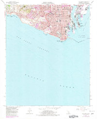
1964 Map of San Pedro
USGS Topo · Published 1982About this map
San Pedro Hill Air Force Station and the Los Palos Verdes Hills dominate the western heights of this coastal survey, overlooking the industrial density of the harbor below. In the early 1960s, this area reflects a complex transition from military installations to residential expansion, with numerous local institutions such as Mira Catalina Sch and Holy Trinity Sch serving the growing neighborhoods of Miraleste and Rolling Hills. The maritime infrastructure is remarkably detailed, tracing the Southern Pacific rail lines as they serve the Main Channel and the Fish Harbor cannery district on Terminal Island. Along the shoreline, the presence of the US Coast Guard Reservation at Point Fermin and the sprawling Fort Macarthur (Upper) highlights the strategic importance of the San Pedro Breakwater in protecting the Los Angeles City Bdy.
Find a feature on this map
56 named features on this map. Tap any name to fly to it.
Don’t see what you’re looking for? This feature index may not catch every label — zoom into the map to look around manually.
Map Details
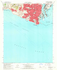
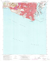
Editions of this 1964 San Pedro Map
3 editions found
Other maps of this area

1896 · Redondo
USGS Topo · 1:62,500

1896 · Las Bolsas
USGS Topo · 1:62,500

1896 · San Pedro
USGS Topo · 1:62,500

1896 · Downey
USGS Topo · 1:62,500

1899 · Downey
USGS Topo · 1:62,500

1901 · Southern California Sheet No. 1
USGS Topo · 1:250,000

1902 · Downey
USGS Topo · 1:62,500

1904 · Southern California Sheet No. 1
USGS Topo · 1:250,000

1923 · Wilmington
USGS Topo · 1:24,000
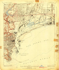
1925 · Wilmington
USGS Topo · 1:24,000
Featured Places
- Los Angeles, CA
- Rancho Palos Verdes, CA
- Rolling Hills, CA
- La Rambla, CA
- Portuguese Bend, Rancho Palos Verdes