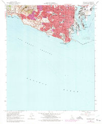
1964 Map of San Pedro
USGS Topo · Published 1975About this map
Fort MacArthur Military Res dominates the southern coastline of the San Pedro peninsula, divided into upper and lower reservations that overlook the strategic Los Angeles Outer Harbor. This mid-century coastal landscape transitions from the dense urban grid of San Pedro to the high ridges of the Los Palos Verdes Hills, where Rolling Hills sits atop the heights of San Pedro Hill. The shoreline is a mix of industrial utility and natural features, from the massive Breakwater protecting the Main Channel to the geologically active Portuguese Bend and Inspiration Point to the west. On Terminal Island, heavy maritime activity is evident at Fish Harbor and the US Naval Res. The interior of the town is densely populated with community landmarks, including numerous parochial and public institutions like Mary Star of the Sea Sch and Dana Jr High Sch.
Find a feature on this map
52 named features on this map. Tap any name to fly to it.
Don’t see what you’re looking for? This feature index may not catch every label — zoom into the map to look around manually.
Map Details
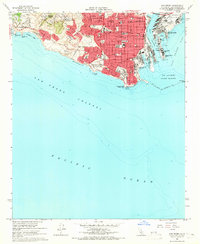
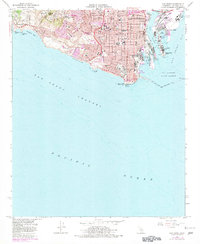
Editions of this 1964 San Pedro Map
3 editions found
Other maps of this area

1896 · Redondo
USGS Topo · 1:62,500

1896 · Las Bolsas
USGS Topo · 1:62,500

1896 · San Pedro
USGS Topo · 1:62,500

1896 · Downey
USGS Topo · 1:62,500

1899 · Downey
USGS Topo · 1:62,500

1901 · Southern California Sheet No. 1
USGS Topo · 1:250,000

1902 · Downey
USGS Topo · 1:62,500

1904 · Southern California Sheet No. 1
USGS Topo · 1:250,000

1923 · Wilmington
USGS Topo · 1:24,000
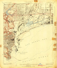
1925 · Wilmington
USGS Topo · 1:24,000
Featured Places
- Los Angeles, CA
- Rancho Palos Verdes, CA
- Rolling Hills, CA
- La Rambla, CA
- Portuguese Bend, Rancho Palos Verdes