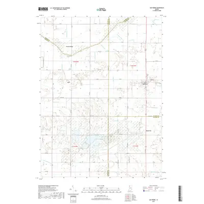
2019 Map of San Pierre
USGS Topo · Published 2019About this map
The Kankakee River winds through this Northwest Indiana landscape, marking a historic boundary between Porter, Jasper, and LaPorte counties. The settlement of San Pierre serves as a local hub, situated near the San Pierre Public Cem and All Saints Cem. The surrounding terrain is defined by an extensive network of drainage infrastructure, including Bass Ditch, Luken Ditch, and Prochaska Ditch, which reflects the region's long-standing efforts to manage the marshy lowlands of the Kankakee basin for agricultural use. Small rural communities like Tefft, Radioville, and Dunns Bridge are connected by a grid of county roads that navigate the complex wetlands. To the south, the Fish & Wildlife Lne indicates a shift toward conservation and habitat management in this historically reclaimed river valley.
Find a feature on this map
64 named features on this map. Tap any name to fly to it.
Don’t see what you’re looking for? This feature index may not catch every label — zoom into the map to look around manually.
Map Details
Editions of this 2019 San Pierre Map
This is the sole edition of this map. No revisions or reprints were ever made.
Other maps of this area

1953 · Kouts
USGS Topo · 1:24,000

1953 · Chicago
USGS Topo · 1:250,000

1957 · Chicago
USGS Topo · 1:250,000

1957 · Wheatfield
USGS Topo · 1:24,000

1958 · La Crosse
USGS Topo · 1:24,000

1959 · English Lake
USGS Topo · 1:24,000

1959 · North Judson
USGS Topo · 1:24,000

1959 · San Pierre
USGS Topo · 1:24,000

1962 · Medaryville
USGS Topo · 1:24,000

1962 · Gifford
USGS Topo · 1:24,000