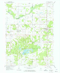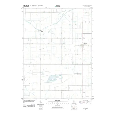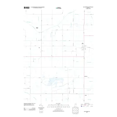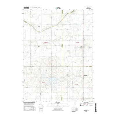
2022 Map of San Pierre
USGS Topo · Published 2022About this map
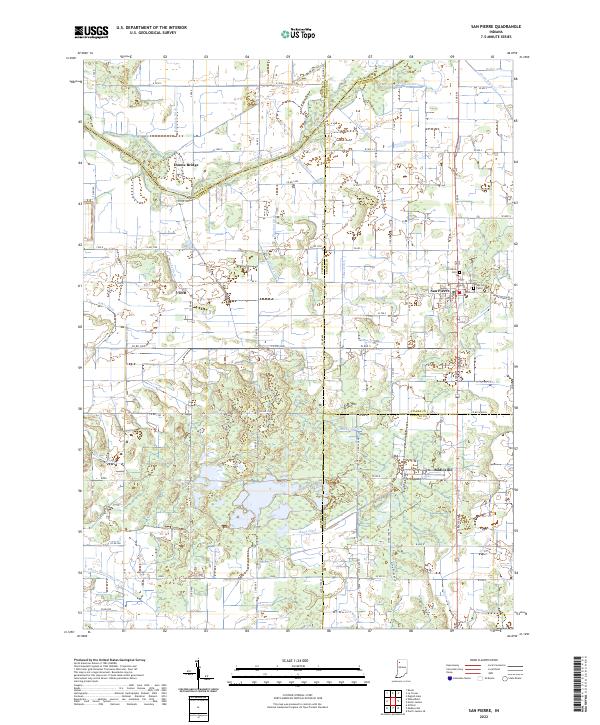
The Kankakee River defines the northern reaches of this landscape, marking the border between Jasper and Porter counties. This region is characterized by a complex network of man-made waterways designed to manage the wetlands of the Kankakee Basin, including Bass Ditch, Sands Ditch, and Luken Ditch. These drainage systems reflect a long history of engineering the land for agriculture, turning once-marshy terrain into the productive fields surrounding settlements like San Pierre and Tefft.
Find a feature on this map
81 named features on this map. Tap any name to fly to it.
Don’t see what you’re looking for? This feature index may not catch every label — zoom into the map to look around manually.
Map Details
Editions of this 2022 San Pierre Map
This is the sole edition of this map. No revisions or reprints were ever made.
Historical Maps of Clarks Through Time
6 maps found