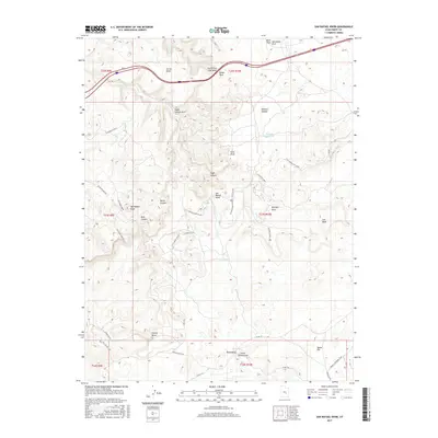
2017 Map of San Rafael Knob
USGS Topo · Published 2017About this map
The San Rafael Swell defines this stretch of Emery County, where the high desert floor is broken by deep canyons and prominent sandstone formations. The prominent San Rafael Knob serves as a central landmark amidst a complex network of drainages including Eagle Canyon and Reds Canyon. This 2017 survey documents the modern intersection of historic routes and geological features, showing the path of Interstate 70 as it bypasses traditional landmarks like Ghost Rock and the Head of Sinbad.
Find a feature on this map
47 named features on this map. Tap any name to fly to it.
Don’t see what you’re looking for? This feature index may not catch every label — zoom into the map to look around manually.
Map Details
Editions of this 2017 San Rafael Knob Map
This is the sole edition of this map. No revisions or reprints were ever made.
Other maps of this area

1885 · San Rafael
USGS Topo · 1:250,000

1952 · Wild Horse
USGS Topo · 1:62,500

1952 · San Rafael Knob
USGS Topo · 1:62,500

1953 · Stinking Spring Creek 2 SE
USGS Topo · 1:24,000

1953 · Temple Mtn
USGS Topo · 1:62,500

1954 · Stinking Spring Creek 1 NW
USGS Topo · 1:24,000

1954 · Stinking Spring Creek 3 NW
USGS Topo · 1:24,000

1954 · Stinking Spring Creek 4 NW
USGS Topo · 1:24,000

1954 · Stinking Spring Creek 2 SW
USGS Topo · 1:24,000

1954 · Stinking Spring Creek 2 NE
USGS Topo · 1:24,000