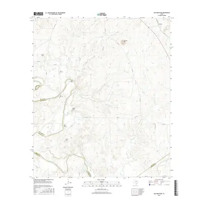
2016 Map of San Saba Peak
USGS Topo · Published 2016About this map
The Colorado River carves a deep path through the heart of this landscape on the border of Mills, San Saba, and Lampasas counties. This 2016 survey captures a rugged ranching and riverine environment where local history is anchored by long-standing landmarks like San Saba Peak and Vinegar Hill. The settlement patterns here reflect the isolation of central Texas hill country, with the small community of Castor in the northeast and Rye Valley further south along the river.
Find a feature on this map
38 named features on this map. Tap any name to fly to it.
Don’t see what you’re looking for? This feature index may not catch every label — zoom into the map to look around manually.
Map Details
Editions of this 2016 San Saba Peak Map
This is the sole edition of this map. No revisions or reprints were ever made.
Other maps of this area

1885 · San Saba
USGS Topo · 1:125,000

1887 · Lampasas
USGS Topo · 1:125,000

1894 · Lampasas
USGS Topo · 1:125,000

1894 · San Saba
USGS Topo · 1:125,000

1925 · San Saba 4-a
USGS Topo · 1:48,000

1925 · San Saba 1-c
USGS Topo · 1:48,000

1925 · San Saba 1-b
USGS Topo · 1:48,000

1925 · San Saba 1-d
USGS Topo · 1:48,000

1928 · Goldthwaite
USGS Topo · 1:62,500

1931 · Bend
USGS Topo · 1:62,500