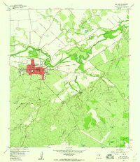
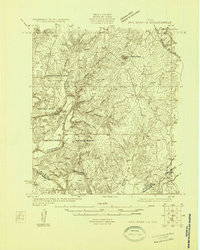
1959 Map of San Saba
USGS Topo · Published 1960About this map
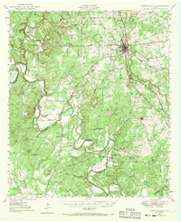
The San Saba riverfront defines this Central Texas landscape, where the town center sits at a sharp bend in the San Saba River. In the late 1950s, the community served as a regional hub for the surrounding ranching and farming country, connected by the Gulf Colorado and Santa Fe railroad. The map reveals a dense network of local burial grounds scattered across the countryside, including Terry Cem, Linn Cem, and Farr Cem, which provide essential clues for genealogical research in this part of San Saba County.
Find a feature on this map
50 named features on this map. Tap any name to fly to it.
Don’t see what you’re looking for? This feature index may not catch every label — zoom into the map to look around manually.
Map Details
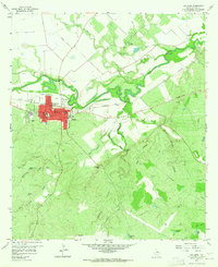
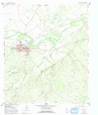
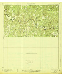
Editions of this 1959 San Saba Map
3 editions found
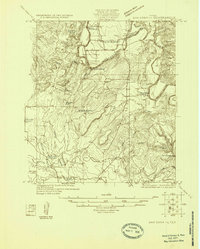
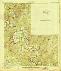
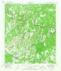
Other maps of this area

1885 · San Saba
USGS Topo · 1:125,000

1894 · San Saba
USGS Topo · 1:125,000

1925 · San Saba 4-a
USGS Topo · 1:48,000
1925 · San Saba 1-c
USGS Topo · 1:48,000
1925 · San Saba 1-d
USGS Topo · 1:48,000
1928 · Goldthwaite
USGS Topo · 1:62,500
1930 · Richland Springs
USGS Topo · 1:62,500

1931 · Bend
USGS Topo · 1:62,500
1948 · Richland Springs
USGS Topo · 1:62,500
1948 · Goldthwaite
USGS Topo · 1:62,500