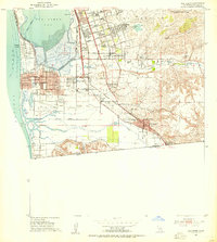
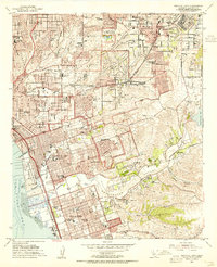
1953 Map of San Ysidro
USGS Topo · Published 1955About this map
The south end of San Diego Bay and the international boundary define this landscape during a period of rapid mid-century growth. Massive Salt Evaporators dominate the marshy flats between Imperial Beach and Palm City, while the Tia Juana River winds through the southern valley toward the coast. Military installations including the Naval Auxiliary Air Station Ream Field and the Border Field Naval Reservation occupy significant portions of the shoreline.
Find a feature on this map
55 named features on this map. Tap any name to fly to it.
Don’t see what you’re looking for? This feature index may not catch every label — zoom into the map to look around manually.
Map Details
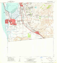
Editions of this 1953 San Ysidro Map
2 editions found
Other maps of this area

1903 · Cuyamaca
USGS Topo · 1:125,000

1904 · San Diego
USGS Topo · 1:62,500

1904 · Southern California Sheet No. 2
USGS Topo · 1:250,000

1930 · San Diego
USGS Topo · 1:62,500

1942 · Point Loma
USGS Topo · 1:31,680
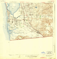
1943 · San Ysidro
USGS Topo · 1:31,680

1943 · Jamul
USGS Topo · 1:62,500
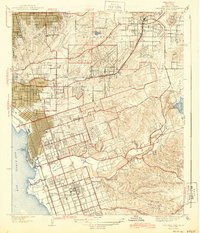
1944 · National City
USGS Topo · 1:31,680

1950 · San Diego
USGS Topo · 1:250,000
1953 · National City
USGS Topo · 1:24,000