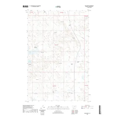
2020 Map of Sand Arroyo
USGS Topo · Published 2020About this map
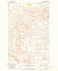
Fort Peck Lake defines the western edge of this landscape, its irregular shoreline forming the North Arm Sand Arroyo Bay and South Arm Sand Arroyo Bay. This modern survey reveals a highly dissected terrain where drainage systems like Tillson Coulee and Bergland Coulee carve through the high plains of McCone County. Significant elevations rise above the drainage basins, including Westland Hill, Goat Mtn, and Andrews Hill.
Find a feature on this map
28 named features on this map. Tap any name to fly to it.
Don’t see what you’re looking for? This feature index may not catch every label — zoom into the map to look around manually.
Map Details
Editions of this 2020 Sand Arroyo Map
This is the sole edition of this map. No revisions or reprints were ever made.
Other maps of this area

1954 · Jordan
USGS Topo · 1:250,000

1956 · Jordan
USGS Topo · 1:250,000

1958 · Jordan
USGS Topo · 1:250,000

1964 · Jordan
USGS Topo · 1:250,000
1972 · Spring Creek Bay
USGS Topo · 1:24,000

1972 · Ash Creek East
USGS Topo · 1:24,000
1972 · Bobcat Creek
USGS Topo · 1:24,000

1973 · Crow Springs
USGS Topo · 1:24,000
1973 · Willis Buttes
USGS Topo · 1:24,000
1973 · Pasture Creek
USGS Topo · 1:24,000