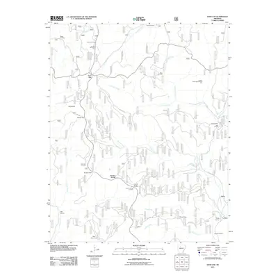
2011 Map of Sand Gap
USGS Topo · Published 2011About this map
Freeman Springs and Sand Gap anchor this terrain-focused study of the Ozark National Forest region during the early 21st century. The landscape is defined by the headwaters and branches of Richland Creek, Sulphur Creek, and the North Fork Illinois Bayou, which carve out numerous hollows and ridges. High points like Sollys Knob and Burgiss Knob overlook a network of forest roads and small settlements that maintain their rural character.
Find a feature on this map
37 named features on this map. Tap any name to fly to it.
Don’t see what you’re looking for? This feature index may not catch every label — zoom into the map to look around manually.
Map Details
Editions of this 2011 Sand Gap Map
This is the sole edition of this map. No revisions or reprints were ever made.
Other maps of this area
1879 · Washington
USGS Topo · 1:62,500
1887 · Smyrna
USGS Topo · 1:62,500
1889 · Treat
USGS Topo · 1:62,500
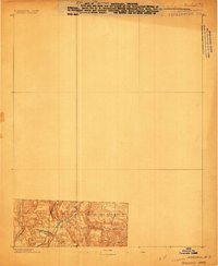
1889 · Marshall #3
USGS Topo · 1:62,500

1892 · Marshall
USGS Topo · 1:125,000
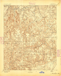
1894 · Marshall
USGS Topo · 1:125,000
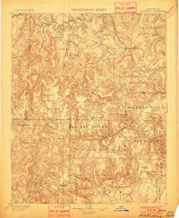
1901 · Marshall
USGS Topo · 1:125,000
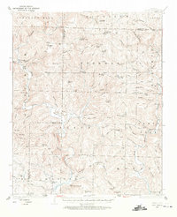
1932 · Treat
USGS Topo · 1:62,500
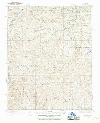
1933 · Mt Judea
USGS Topo · 1:62,500
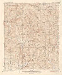
1934 · Treat
USGS Topo · 1:62,500