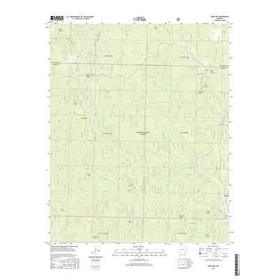
2017 Map of Sand Gap
USGS Topo · Published 2017About this map
Sand Gap serves as a central point of reference in this deeply dissected portion of the Ozark National Forest along the border of Newton and Pope Counties. The landscape is defined by its dramatic geologic features and numerous hollows, including Kings Bluff, Arch Rock, and the distinctive Pedestal Rocks. Waterways such as Richland Creek and the North Fork Illinois Bayou have carved out a complex system of ridges and valleys, with prominent peaks like Sollys Knob and Dare Mine Knob rising above the surrounding terrain. Small rural settlements and family burial grounds provide a record of local history, with Freeman Springs Cemetery, New Freeman Cemetery, and Richland Cemetery scattered throughout the woodland. The presence of the Ozark Highlands Trail and Hurricane Trail highlights the area's importance for transit through the northern Arkansas hills.
Find a feature on this map
48 named features on this map. Tap any name to fly to it.
Don’t see what you’re looking for? This feature index may not catch every label — zoom into the map to look around manually.
Map Details
Editions of this 2017 Sand Gap Map
This is the sole edition of this map. No revisions or reprints were ever made.
Other maps of this area

1879 · Washington
USGS Topo · 1:62,500

1887 · Smyrna
USGS Topo · 1:62,500

1889 · Treat
USGS Topo · 1:62,500

1889 · Marshall #3
USGS Topo · 1:62,500

1892 · Marshall
USGS Topo · 1:125,000

1894 · Marshall
USGS Topo · 1:125,000

1901 · Marshall
USGS Topo · 1:125,000

1932 · Treat
USGS Topo · 1:62,500

1933 · Mt Judea
USGS Topo · 1:62,500

1934 · Treat
USGS Topo · 1:62,500