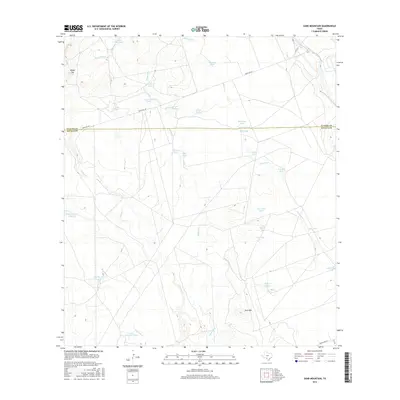
2016 Map of Sand Mountain
USGS Topo · Published 2016About this map
Sand Mtn rises above the arid landscape of the Uvalde and Zavala county line, a region defined by complex drainage networks and a reliance on localized water management. The terrain is marked by ephemeral water bodies and catchments, including the Nueces River in the northeast corner and the significant Big Maverick Lake to the southwest. The presence of numerous named tanks like Railroad Tank, Cow Camp Tank, and Retama Tank suggests a landscape dedicated to ranching and livestock, where water security is the primary driver of geographic naming and property division.
Find a feature on this map
36 named features on this map. Tap any name to fly to it.
Don’t see what you’re looking for? This feature index may not catch every label — zoom into the map to look around manually.
Map Details
Editions of this 2016 Sand Mountain Map
This is the sole edition of this map. No revisions or reprints were ever made.
Other maps of this area

1896 · Brackett
USGS Topo · 1:125,000

1897 · Brackett
USGS Topo · 1:125,000

1898 · Uvalde
USGS Topo · 1:125,000

1899 · Uvalde
USGS Topo · 1:125,000

1939 · La Pryor
USGS Topo · 1:62,500

1940 · Chacon Creek
USGS Topo · 1:62,500

1949 · Cline
USGS Topo · 1:62,500

1953 · Crystal City
USGS Topo · 1:250,000

1954 · San Antonio
USGS Topo · 1:250,000

1955 · Crystal City
USGS Topo · 1:250,000