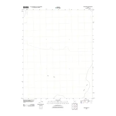
2010 Map of Sand Ridge
USGS Topo · Published 2010About this map
Beaver River winds through this sparse desert landscape in Millard County, defining the hydrological character of an area dominated by significant topographical elevations. The land is marked by the broad expanse of Sand Ridge and the distinct rise of Beaver Ridge to the southeast. This 2010 survey reflects a period of modern geospatial recording where the primary focus remains on the natural drainage patterns and the relief of the high desert. The minimal human footprint shown on the map highlights the dominance of these geological formations and the seasonal path of the river as it cuts through the arid basin.
Find a feature on this map
4 named features on this map. Tap any name to fly to it.
Don’t see what you’re looking for? This feature index may not catch every label — zoom into the map to look around manually.
Map Details
Editions of this 2010 Sand Ridge Map
This is the sole edition of this map. No revisions or reprints were ever made.
Other maps of this area

1885 · Beaver
USGS Topo · 1:250,000

1885 · Sevier Desert
USGS Topo · 1:250,000

1953 · Richfield
USGS Topo · 1:250,000

1953 · Delta
USGS Topo · 1:250,000

1958 · Richfield
USGS Topo · 1:250,000

1958 · Delta
USGS Topo · 1:250,000

1962 · Delta
USGS Topo · 1:250,000

1962 · Tabernacle Hill
USGS Topo · 1:62,500

1971 · Neels
USGS Topo · 1:24,000
1971 · Clear Lake
USGS Topo · 1:24,000