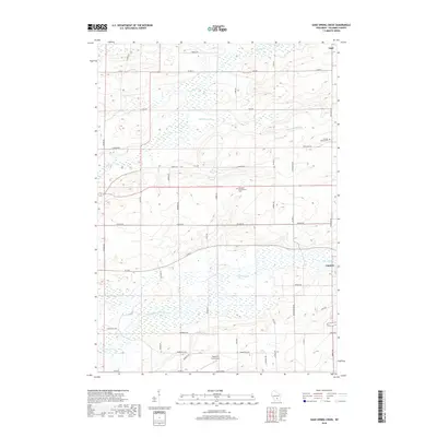
2018 Map of Sand Spring Creek
USGS Topo · Published 2018About this map
North Branch Duck Creek and its associated wetlands dominate the southern half of this Columbia County landscape, illustrating the complex drainage patterns of the region. The map reveals a rural agricultural network defined by long-established family names and community landmarks, such as the Rosedale Presbyterian Cem and the Portage Prairie Cem located near the eastern boundary. The settlement of Cambria sits at the southeastern edge, while the small community of Ingle is positioned in the northeast corner. Transportation is primarily facilitated by a grid of county roads, including Co Rd E and Co Rd H, which weave through the terrain alongside water features like Sand Spring Cr and the Fox River. The presence of the Bancroft East Airport near Pardeeville Rd serves as a modern nodal point within this traditionally farming landscape.
Find a feature on this map
47 named features on this map. Tap any name to fly to it.
Don’t see what you’re looking for? This feature index may not catch every label — zoom into the map to look around manually.
Map Details
Editions of this 2018 Sand Spring Creek Map
This is the sole edition of this map. No revisions or reprints were ever made.
Other maps of this area

1901 · Poynette
USGS Topo · 1:62,500

1902 · Portage
USGS Topo · 1:62,500

1955 · Randolph
USGS Topo · 1:62,500

1955 · Columbus
USGS Topo · 1:62,500

1957 · Madison
USGS Topo · 1:250,000

1960 · Madison
USGS Topo · 1:250,000

1962 · Poynette
USGS Topo · 1:62,500

1962 · Portage
USGS Topo · 1:62,500
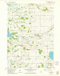
1980 · Manchester
USGS Topo · 1:24,000
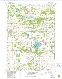
1980 · Rio
USGS Topo · 1:24,000