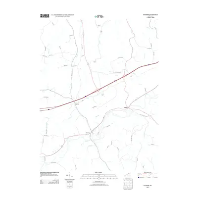
2013 Map of Sanders
USGS Topo · Published 2013About this map
Sanders and Sparta anchor this corridor of the Kentucky landscape, where small settlements are connected by a network of rural roads and creek crossings. The terrain is defined by a dense system of waterways including Goose Cr, Lick Cr, and Tanbark Br, which carve through the topography and dictated the placement of early routes like Sparta-Sanders Rd. Near the center of the sheet, the small community of Carson sits near the headwaters of several drainages, while the northern extent is marked by Craigs Cr. The map captures the persistence of local family-named landmarks and historical transit corridors, such as Ky Highway 184 and Old Sparta Rd, providing a clear record of the area's rural development and agricultural connectivity in the early 21st century.
Find a feature on this map
55 named features on this map. Tap any name to fly to it.
Don’t see what you’re looking for? This feature index may not catch every label — zoom into the map to look around manually.
Map Details
Editions of this 2013 Sanders Map
This is the sole edition of this map. No revisions or reprints were ever made.
Other maps of this area

1943 · Florence
USGS Topo · 1:24,000

1943 · Vevay North
USGS Topo · 1:24,000

1943 · Patriot
USGS Topo · 1:24,000

1943 · Vevay South
USGS Topo · 1:24,000

1950 · New Liberty
USGS Topo · 1:24,000

1950 · Glencoe
USGS Topo · 1:24,000

1950 · Owenton
USGS Topo · 1:24,000

1951 · Florence
USGS Topo · 1:24,000

1951 · Sanders
USGS Topo · 1:24,000
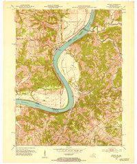
1951 · Patriot
USGS Topo · 1:24,000