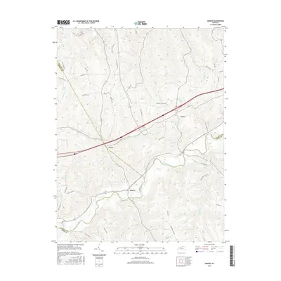
2016 Map of Sanders
USGS Topo · Published 2016About this map
Eagle Creek defines the lower drainage patterns of this Kentucky landscape, winding through a region where Carroll, Gallatin, and Owen Counties meet. The settlement of Sanders occupies a central position along the creek, connected to the nearby community of Sparta by a network of winding rural routes and the more modern Kentucky Speedway Blvd. The terrain is characterized by dissected ridges and valleys, with prominent features like Hathaway Ridge rising above the numerous small waterways such as Stephens Cr and Tanback Br.
Find a feature on this map
56 named features on this map. Tap any name to fly to it.
Don’t see what you’re looking for? This feature index may not catch every label — zoom into the map to look around manually.
Map Details
Editions of this 2016 Sanders Map
This is the sole edition of this map. No revisions or reprints were ever made.
Other maps of this area

1943 · Florence
USGS Topo · 1:24,000

1943 · Vevay North
USGS Topo · 1:24,000

1943 · Patriot
USGS Topo · 1:24,000

1943 · Vevay South
USGS Topo · 1:24,000

1950 · New Liberty
USGS Topo · 1:24,000

1950 · Glencoe
USGS Topo · 1:24,000

1950 · Owenton
USGS Topo · 1:24,000

1951 · Florence
USGS Topo · 1:24,000

1951 · Sanders
USGS Topo · 1:24,000
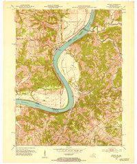
1951 · Patriot
USGS Topo · 1:24,000