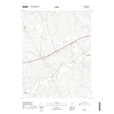
2019 Map of Sanders
USGS Topo · Published 2019About this map
Eagle Creek meanders through the heart of this North Central Kentucky landscape, marking the confluence of several county boundaries in the late 2010s. The settlement of Sanders serves as a focal point along the waterway, connected to the neighboring community of Sparta by a network of winding local roads and the modern corridor of Kentucky Speedway Blvd. The terrain is defined by a dense network of drainage, where numerous named branches and creeks like Lick Cr and Twomile Cr have carved the topography into a complex series of ridges and hollows.
Find a feature on this map
52 named features on this map. Tap any name to fly to it.
Don’t see what you’re looking for? This feature index may not catch every label — zoom into the map to look around manually.
Map Details
Editions of this 2019 Sanders Map
This is the sole edition of this map. No revisions or reprints were ever made.
Other maps of this area

1943 · Florence
USGS Topo · 1:24,000

1943 · Vevay North
USGS Topo · 1:24,000

1943 · Patriot
USGS Topo · 1:24,000

1943 · Vevay South
USGS Topo · 1:24,000

1950 · New Liberty
USGS Topo · 1:24,000

1950 · Glencoe
USGS Topo · 1:24,000

1950 · Owenton
USGS Topo · 1:24,000

1951 · Florence
USGS Topo · 1:24,000

1951 · Sanders
USGS Topo · 1:24,000
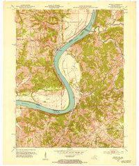
1951 · Patriot
USGS Topo · 1:24,000