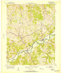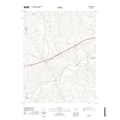
1969 Map of Sanders
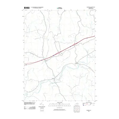
USGS Topo · Published 1987About this map
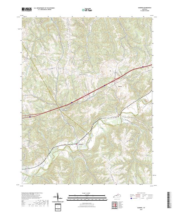
The winding course of Eagle Creek defines the local geography at the meeting point of Carroll, Gallatin, and Owen counties. The town of Sanders and nearby Sparta are centers of activity along the CSX railroad corridor, which mirrors the creek's path through the valley. This 1969 field-checked survey highlights the transition of the Kentucky landscape as modern infrastructure, represented by Interchange 57, began to bypass the older rail-and-creek routes. Local landmarks including Drury Chapel, Bramlette Ch, and Park Ridge Ch provide specific points of interest for genealogists tracing family roots in this rural region. The map also documents the myriad small waterways, such as Lick Creek and Spring Branch, that carved the ridges and hollows before they reach the main valley floor. Transport patterns are further detailed by established routes like Eagle Station Road and Stewarts Lane.
Find a feature on this map
32 named features on this map. Tap any name to fly to it.
Don’t see what you’re looking for? This feature index may not catch every label — zoom into the map to look around manually.
Map Details
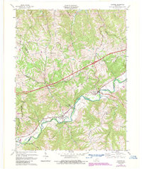
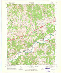
Editions of this 1969 Sanders Map
2 editions found
Historical Maps of Sanders Through Time
7 maps found