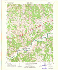
1969 Map of Sanders
USGS Topo · Published 1972About this map
Eagle Creek meanders through the heart of this landscape, forming the natural boundary between Gallatin, Carroll, and Owen counties. The Louisville and Nashville railroad follows the winding river valley, connecting the established communities of Sanders and Sparta. This corridor reflects the late 1960s rail-and-river economy of northern Kentucky, where small valley settlements were anchored by local depots and rural churches like Bramlette Ch and Drury Chapel.
Find a feature on this map
27 named features on this map. Tap any name to fly to it.
Don’t see what you’re looking for? This feature index may not catch every label — zoom into the map to look around manually.
Map Details
Editions of this 1969 Sanders Map
2 editions found
Other maps of this area

1943 · Florence
USGS Topo · 1:24,000

1943 · Vevay North
USGS Topo · 1:24,000

1943 · Patriot
USGS Topo · 1:24,000

1943 · Vevay South
USGS Topo · 1:24,000

1950 · New Liberty
USGS Topo · 1:24,000

1950 · Glencoe
USGS Topo · 1:24,000

1950 · Owenton
USGS Topo · 1:24,000

1951 · Florence
USGS Topo · 1:24,000

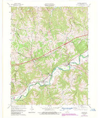
1951 · Sanders
USGS Topo · 1:24,000
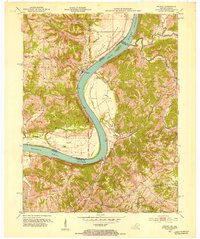
1951 · Patriot
USGS Topo · 1:24,000