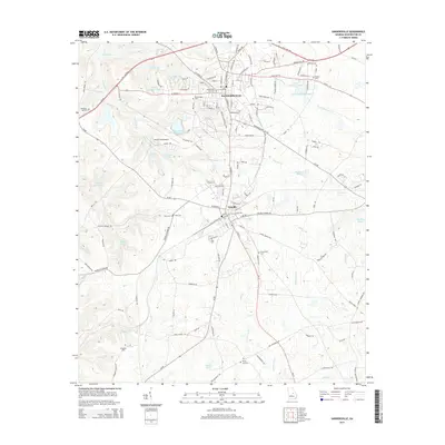
2014 Map of Sandersville
USGS Topo · Published 2014About this map
Sandersville and Tennille stand as the primary population centers on this landscape, connected by a network of local roads and state routes. The area is defined by a complex drainage system where the Ohoopee River and its tributaries, such as Limestone Cr and Dyers Cr, flow through a mix of industrial and residential zones. Industrial activity is prominently visible at the Thiele Kaolin Mining Company Lake and nearby Kaolin Field Airport, reflecting the region's significant mining heritage.
Find a feature on this map
147 named features on this map. Tap any name to fly to it.
Don’t see what you’re looking for? This feature index may not catch every label — zoom into the map to look around manually.
Map Details
Editions of this 2014 Sandersville Map
This is the sole edition of this map. No revisions or reprints were ever made.
Other maps of this area

1953 · Athens
USGS Topo · 1:250,000

1957 · Macon
USGS Topo · 1:250,000

1958 · Macon
USGS Topo · 1:250,000

1958 · Athens
USGS Topo · 1:250,000

1959 · Athens
USGS Topo · 1:250,000

1961 · Deepstep
USGS Topo · 1:24,000

1961 · Warthen
USGS Topo · 1:24,000

1962 · Oconee
USGS Topo · 1:24,000

1962 · Irwins Crossroads
USGS Topo · 1:24,000

1962 · Tabernacle
USGS Topo · 1:24,000