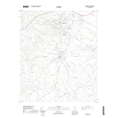
2020 Map of Sandersville
USGS Topo · Published 2020About this map
Sandersville and Tennille anchor this Central Georgia landscape, where the local industry is physically evident in the massive Kaolin Field situated between the two towns. As the county seat, Sandersville is home to the Washington County Courthouse and the Georgia Military College Sandersville Campus, serving as the primary hub for the surrounding rural area. The terrain is defined by a dense network of minor waterways like Limestone Cr and Sun-Hill Cr that eventually feed into the Ohoopee River in the south.
Find a feature on this map
57 named features on this map. Tap any name to fly to it.
Don’t see what you’re looking for? This feature index may not catch every label — zoom into the map to look around manually.
Map Details
Editions of this 2020 Sandersville Map
This is the sole edition of this map. No revisions or reprints were ever made.
Other maps of this area

1953 · Athens
USGS Topo · 1:250,000

1957 · Macon
USGS Topo · 1:250,000

1958 · Macon
USGS Topo · 1:250,000

1958 · Athens
USGS Topo · 1:250,000

1959 · Athens
USGS Topo · 1:250,000

1961 · Deepstep
USGS Topo · 1:24,000

1961 · Warthen
USGS Topo · 1:24,000

1962 · Oconee
USGS Topo · 1:24,000

1962 · Irwins Crossroads
USGS Topo · 1:24,000

1962 · Tabernacle
USGS Topo · 1:24,000