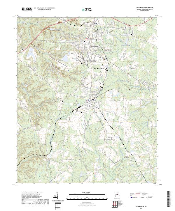
2024 Map of Sandersville
USGS Topo · Published 2024About this map
Sandersville and Tennille anchor this central Georgia landscape, where the Washington County Courthouse stands as a focal point for regional governance. The infrastructure of the Sandersville RR connects these communities, while the Georgia Military College Sandersville Campus reflects the local educational heritage. The surrounding terrain is notably marked by the Kaolin Field, illustrating the area’s industrial ties to kaolin mining. Numerous family and community landmarks are documented throughout the quadrangle, including Sisters Baptist Church and a high density of burial grounds such as Brownwood Cem, Zeta Cem, and Sinquefield Cem. The hydrology is defined by the Ohoopee River and Sisters Church Creek, alongside numerous managed ponds like Harrison Pond and Taylor Lake. The Fall Line Fwy cuts across the northern reaches, marking a modern transport artery through this established agricultural and industrial corridor.
Find a feature on this map
156 named features on this map. Tap any name to fly to it.
Don’t see what you’re looking for? This feature index may not catch every label — zoom into the map to look around manually.
Map Details
Editions of this 2024 Sandersville Map
This is the sole edition of this map. No revisions or reprints were ever made.
Other maps of this area

1953 · Athens
USGS Topo · 1:250,000

1957 · Macon
USGS Topo · 1:250,000

1958 · Macon
USGS Topo · 1:250,000

1958 · Athens
USGS Topo · 1:250,000

1959 · Athens
USGS Topo · 1:250,000

1961 · Deepstep
USGS Topo · 1:24,000

1961 · Warthen
USGS Topo · 1:24,000

1962 · Oconee
USGS Topo · 1:24,000

1962 · Irwins Crossroads
USGS Topo · 1:24,000

1962 · Tabernacle
USGS Topo · 1:24,000