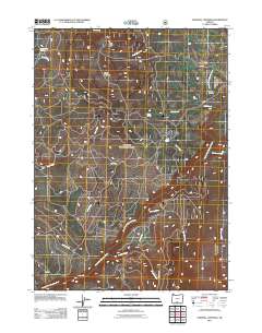
2011 Map of Sandhill Crossing
USGS Topo · Published 2011About this map
Black Butte and Green Mountain anchor this high-country landscape in Klamath County, where the hydrological network of the upper Sprague River basin is the primary defining characteristic. The convergence of the North Fork Sprague River and the East Fork Sprague River dictates the local geography, supported by numerous drainage systems including Sheepy Creek, Mud Creek, and Paradise Creek.
Find a feature on this map
22 named features on this map. Tap any name to fly to it.
Don’t see what you’re looking for? This feature index may not catch every label — zoom into the map to look around manually.
Map Details
Editions of this 2011 Sandhill Crossing Map
This is the sole edition of this map. No revisions or reprints were ever made.
Other maps of this area

1889 · Klamath
USGS Topo · 1:250,000

1894 · Klamath
USGS Topo · 1:250,000

1955 · Klamath Falls
USGS Topo · 1:250,000

1958 · Klamath Falls
USGS Topo · 1:250,000

1960 · Riverbed Butte
USGS Topo · 1:62,500

1960 · Bly
USGS Topo · 1:62,500

1960 · Fishhole Mtn
USGS Topo · 1:62,500

1966 · Shake Butte
USGS Topo · 1:24,000

1966 · Sandhill Crossing
USGS Topo · 1:24,000

1966 · Harvey Creek
USGS Topo · 1:24,000