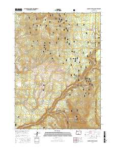
2017 Map of Sandhill Crossing
USGS Topo · Published 2017About this map
Fremont National Forest dominates this section of the Oregon high country, where the landscape is defined by volcanic features and an intricate network of seasonal drainage. Rising above the plateau, Black Butte and Green Mtn provide prominent landmarks north of the N Fork Sprague River, which winds through the southern half of the quadrangle. This 2017 survey details the essential water sources that have long dictated movement through this arid terrain, including Last Chance Spring, Cold Spring, and Mud Spring. The southeastern corner is anchored by the heights of Gearhart Mtn, with the Gearhart Mountain Trail navigating the slopes near the Lake County line. A system of forest development roads, such as Nat For Dev Rd 339 and Nat For Dev Rd 331, connects the various creek systems like Paradise Cr and Sheepy Cr to the more accessible Sandhill Crossing.
Find a feature on this map
35 named features on this map. Tap any name to fly to it.
Don’t see what you’re looking for? This feature index may not catch every label — zoom into the map to look around manually.
Map Details
Editions of this 2017 Sandhill Crossing Map
This is the sole edition of this map. No revisions or reprints were ever made.
Other maps of this area

1889 · Klamath
USGS Topo · 1:250,000

1894 · Klamath
USGS Topo · 1:250,000

1955 · Klamath Falls
USGS Topo · 1:250,000

1958 · Klamath Falls
USGS Topo · 1:250,000

1960 · Riverbed Butte
USGS Topo · 1:62,500

1960 · Bly
USGS Topo · 1:62,500

1960 · Fishhole Mtn
USGS Topo · 1:62,500

1966 · Shake Butte
USGS Topo · 1:24,000

1966 · Sandhill Crossing
USGS Topo · 1:24,000

1966 · Harvey Creek
USGS Topo · 1:24,000