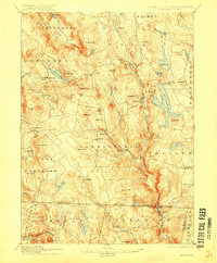
1907 Map of Sandisfield
USGS Topo · Published 1915About this map
The West Branch Farmington River and its tributaries define the landscape of the southern Berkshires and northern Litchfield County at the turn of the century. This survey, based on 1886 field work, reveals a network of upland villages and mills situated along steep-gradient waterways. The massive Otis Reservoir dominates the eastern highlands, feeding the Farmington River system that flows south through New Boston and across the Massachusetts-Connecticut boundary. Small manufacturing and agricultural hubs such as Montville, Southfield, and Tyringham are connected by a web of carriage roads, while the rugged topography is punctuated by family-named peaks like Filley Mt and Hunger Mt. In the southern portion of the sheet, the village of North Colebrook sits near the winding Sandy Brook, illustrating the persistence of small-scale water-powered industry in these narrow river valleys before the large-scale industrial shifts of the twentieth century.
Find a feature on this map
86 named features on this map. Tap any name to fly to it.
Don’t see what you’re looking for? This feature index may not catch every label — zoom into the map to look around manually.
Map Details
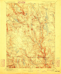
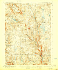
Editions of this 1907 Sandisfield Map
3 editions found
Other maps of this area

1885 · Sheffield
USGS Topo · 1:62,500

1886 · Chesterfield
USGS Topo · 1:62,500

1886 · Becket
USGS Topo · 1:62,500

1887 · Granville
USGS Topo · 1:62,500

1888 · Sheffield
USGS Topo · 1:62,500

1888 · Becket
USGS Topo · 1:62,500

1888 · Sandisfield
USGS Topo · 1:62,500

1888 · Chesterfield
USGS Topo · 1:62,500

1888 · Pittsfield
USGS Topo · 1:62,500

1889 · Granville
USGS Topo · 1:62,500