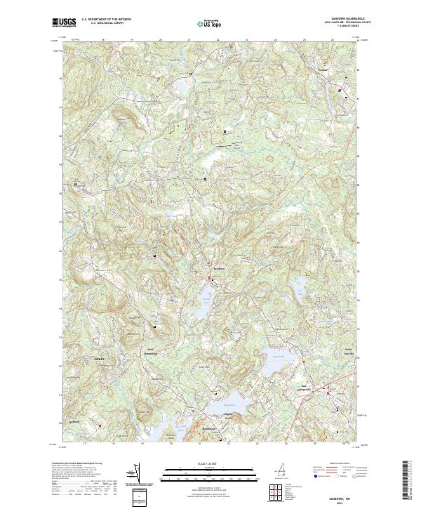
2024 Map of Sandown
USGS Topo · Published 2024About this map
Hampstead and its neighboring villages in Rockingham County are defined by an intricate network of glacial lakes and small ponds, including the sprawling Big Island Pond and Wash Pond near Baglett Grove. The landscape is a mosaic of low hills like Chestnut Hill and Walnut Hill, which historically shaped the winding routes of local thoroughfares such as Wells Village Rd and Stagecoach Dr. A prominent modern feature is the Rockingham Rec Rail Trl, which follows the alignment of a former rail corridor through West Hampstead, serving as a tangible link to the region's industrial transportation past. Genealogists will find a high density of burial sites across the quadrangle, from the Sanborn Cem in the north to the Old Cem and Hadley Cem near the southern border, reflecting the long-established settlement patterns of these New Hampshire towns.
Find a feature on this map
210 named features on this map. Tap any name to fly to it.
Don’t see what you’re looking for? This feature index may not catch every label — zoom into the map to look around manually.
Map Details
Editions of this 2024 Sandown Map
This is the sole edition of this map. No revisions or reprints were ever made.
Other maps of this area

1888 · Haverhill
USGS Topo · 1:62,500

1890 · Haverhill
USGS Topo · 1:62,500

1893 · Haverhill
USGS Topo · 1:62,500

1905 · Manchester
USGS Topo · 1:62,500

1917 · Mt. Pawtuckaway
USGS Topo · 1:62,500

1919 · Mt. Pawtuckaway
USGS Topo · 1:62,500

1921 · Suncook
USGS Topo · 1:62,500

1935 · Haverhill
USGS Topo · 1:62,500

1939 · Mt. Pawtuckaway
USGS Topo · 1:62,500

1941 · Manchester
USGS Topo · 1:62,500