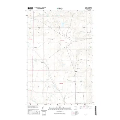
2014 Map of Sands
USGS Topo · Published 2014About this map
Sands and the surrounding high country of Marquette County define this landscape, where glacial geology left behind a complex network of basins and bluffs. The terrain is dominated by the Kona Hills and Ragged Hills in the northwest, transitioning into the prominent Migisy Bluff near Buschell Lake. This elevation dictates the drainage patterns of several water bodies, including the Carp River and the sprawling Pelissier Lake.
Find a feature on this map
66 named features on this map. Tap any name to fly to it.
Don’t see what you’re looking for? This feature index may not catch every label — zoom into the map to look around manually.
Map Details
Editions of this 2014 Sands Map
This is the sole edition of this map. No revisions or reprints were ever made.
Other maps of this area

1907 · Marquette
USGS Topo · 1:62,500

1932 · Harvey NW
USGS Topo · 1:31,680

1932 · Harvey SE
USGS Topo · 1:31,680

1932 · Harvey SW
USGS Topo · 1:31,680

1932 · Harvey NE
USGS Topo · 1:31,680

1952 · Sands
USGS Topo · 1:24,000

1952 · Ishpeming
USGS Topo · 1:62,500

1952 · Gwinn
USGS Topo · 1:62,500

1952 · Palmer
USGS Topo · 1:24,000

1952 · Gwinn
USGS Topo · 1:24,000