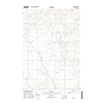
2017 Map of Sands
USGS Topo · Published 2017About this map
Sands is a central focal point in this portion of Marquette County, situated amidst a landscape defined by glacial topography and an intricate network of waterways. The terrain rises to the north at Migisy Bluff and the Kona Hills, while the southern reaches are drained by the East Branch Escanaba River and the Powell Lake Outlet. The settlement pattern follows a series of county roads, with the Blueberry Ridge Pathway weaving through the eastern hills, suggesting a transition from traditional resource-based land use to modern recreational purposes.
Find a feature on this map
72 named features on this map. Tap any name to fly to it.
Don’t see what you’re looking for? This feature index may not catch every label — zoom into the map to look around manually.
Map Details
Editions of this 2017 Sands Map
This is the sole edition of this map. No revisions or reprints were ever made.
Other maps of this area

1907 · Marquette
USGS Topo · 1:62,500

1932 · Harvey NW
USGS Topo · 1:31,680

1932 · Harvey SE
USGS Topo · 1:31,680

1932 · Harvey SW
USGS Topo · 1:31,680

1932 · Harvey NE
USGS Topo · 1:31,680

1952 · Sands
USGS Topo · 1:24,000

1952 · Ishpeming
USGS Topo · 1:62,500

1952 · Gwinn
USGS Topo · 1:62,500

1952 · Palmer
USGS Topo · 1:24,000

1952 · Gwinn
USGS Topo · 1:24,000