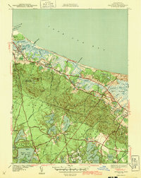
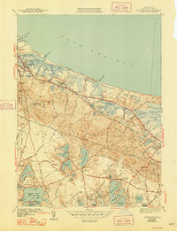
1943 Map of Sandwich
USGS Topo · Published 1943About this map
Sandwich and West Barnstable occupy a complex coastal landscape shaped by tidal estuaries and glacial kettle ponds during the early 1940s. The shoreline is defined by the Great Marshes and the newly established Cape Cod Canal, with the New York New Haven and Hartford RR serving as the primary transit artery through the town centers. Local history is deeply rooted in the interior uplands, where Shawme State Forest surrounds several significant family and community landmarks, including the Old Quaker Meetinghouse and Freeman Cem.
Find a feature on this map
95 named features on this map. Tap any name to fly to it.
Don’t see what you’re looking for? This feature index may not catch every label — zoom into the map to look around manually.
Map Details
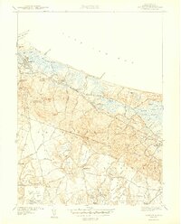
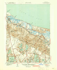
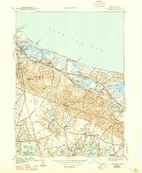
Editions of this 1943 Sandwich Map
5 editions found
Other maps of this area

1886 · Falmouth
USGS Topo · 1:62,500

1886 · Plymouth
USGS Topo · 1:62,500

1888 · Barnstable
USGS Topo · 1:62,500

1888 · Falmouth
USGS Topo · 1:62,500

1889 · Plymouth
USGS Topo · 1:62,500

1893 · Barnstable
USGS Topo · 1:62,500

1893 · Falmouth
USGS Topo · 1:62,500

1894 · Plymouth
USGS Topo · 1:62,500

1915 · Falmouth
USGS Topo · 1:62,500

1920 · Falmouth
USGS Topo · 1:62,500