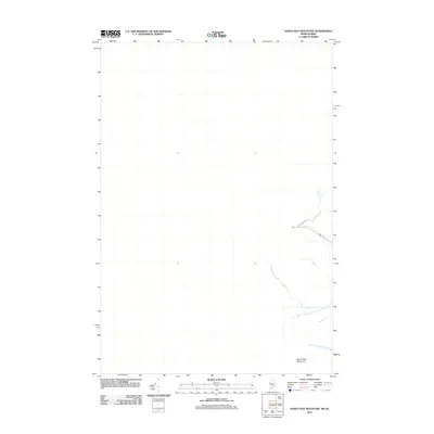
2011 Map of Sandy Bay Mountain
USGS Topo · Published 2011About this map
Sandy Bay Mountain anchors the southeastern corner of this terrain, marking a significant high point near the international boundary between Maine and Quebec. This remote borderland is defined by its primary drainage systems, including the South Branch Penobscot River and the headwaters of the West Branch Sandy Stream. The presence of Blake Gore Rd represents the limited human infrastructure in an area otherwise dominated by the natural hydrology and elevation of the northern woods. As documented by the U.S. Geological Survey in 2011, this landscape serves as a vital watershed for the Penobscot basin, where the topography dictates the flow of glacial-fed streams across the frontier.
Find a feature on this map
4 named features on this map. Tap any name to fly to it.
Don’t see what you’re looking for? This feature index may not catch every label — zoom into the map to look around manually.
Map Details
Editions of this 2011 Sandy Bay Mountain Map
This is the sole edition of this map. No revisions or reprints were ever made.
Other maps of this area

1923 · Attean
USGS Topo · 1:62,500

1925 · Attean
USGS Topo · 1:62,500

1927 · Sandy Bay
USGS Topo · 1:48,000

1928 · Skinner
USGS Topo · 1:48,000

1930 · Sandy Bay
USGS Topo · 1:62,500

1931 · Skinner
USGS Topo · 1:62,500

1944 · Sandy Bay
USGS Topo · 1:62,500

1949 · Jackman
USGS Topo · 1:250,000

1950 · Attean
USGS Topo · 1:50,000

1963 · Jackman
USGS Topo · 1:250,000