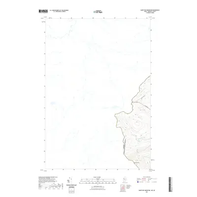
2021 Map of Sandy Bay Mountain
USGS Topo · Published 2021About this map
The international boundary between Canada and the United States defines this Somerset County landscape, following the height of land along the western edge of the Maine wilderness. Rising to the south is Sandy Bay Mtn, a prominent peak that serves as a natural marker for the border. The terrain is characterized by the headwaters of significant regional drainage systems, including the S Br Penobscot River and W Br Sandy Stream. Infrastructure is minimal in this remote upland area, limited to the Campbell Pond Rd and the Alt-Main Trl, which provide the only managed access through the dense forests. This 2021 survey illustrates the topographical divide where water begins its journey toward the Penobscot, capturing the intersection of political boundaries and physical geography.
Find a feature on this map
6 named features on this map. Tap any name to fly to it.
Don’t see what you’re looking for? This feature index may not catch every label — zoom into the map to look around manually.
Map Details
Editions of this 2021 Sandy Bay Mountain Map
This is the sole edition of this map. No revisions or reprints were ever made.
Other maps of this area

1923 · Attean
USGS Topo · 1:62,500

1925 · Attean
USGS Topo · 1:62,500

1927 · Sandy Bay
USGS Topo · 1:48,000

1928 · Skinner
USGS Topo · 1:48,000

1930 · Sandy Bay
USGS Topo · 1:62,500

1931 · Skinner
USGS Topo · 1:62,500

1944 · Sandy Bay
USGS Topo · 1:62,500

1949 · Jackman
USGS Topo · 1:250,000

1950 · Attean
USGS Topo · 1:50,000

1963 · Jackman
USGS Topo · 1:250,000