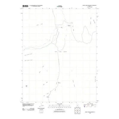
2010 Map of Sandy Creek Benches
USGS Topo · Published 2010About this map
Sandy Ranch sits at the northern end of this corridor, where the County Rd meets the Capitol Reef National Park Rd. The landscape is dominated by the dramatic uplift of the Water Pocket Fold, a massive geological wrinkle that shapes the drainage patterns of Sandy Creek and its many tributaries. The terrain transitions from the high, flat expanses of Wildcat Mesa and Tarantula Mesa down to the broken geography of the Sandy Creek Benches. This region highlights the intersection of agricultural land use and federal preservation, notably at the Cedar Mesa Campground near the southern boundary. Distinctive natural landmarks like the Elbow of the Sandy and The Narrows demonstrate how water has carved deep, specific paths through the sandstone layers over millennia.
Find a feature on this map
22 named features on this map. Tap any name to fly to it.
Don’t see what you’re looking for? This feature index may not catch every label — zoom into the map to look around manually.
Map Details
Editions of this 2010 Sandy Creek Benches Map
This is the sole edition of this map. No revisions or reprints were ever made.
Other maps of this area

1885 · San Rafael
USGS Topo · 1:250,000

1885 · Fish Lake
USGS Topo · 1:250,000

1886 · Escalante
USGS Topo · 1:250,000

1886 · Henry Mountains
USGS Topo · 1:250,000

1892 · Henry Mountains
USGS Topo · 1:250,000

1896 · Fish Lake
USGS Topo · 1:250,000

1952 · Notom 4 SE
USGS Topo · 1:24,000

1952 · Notom 4 NW
USGS Topo · 1:24,000

1952 · Notom 4 SW
USGS Topo · 1:24,000

1952 · Notom 4 NE
USGS Topo · 1:24,000