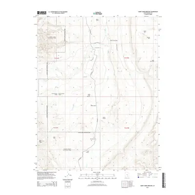
2014 Map of Sandy Creek Benches
USGS Topo · Published 2014About this map
Capitol Reef National Park dominates the western half of this landscape, where the dramatic geologic uplift of the Water Pocket Fold creates a stark boundary between the high plateaus and the lower desert floors. The eastern portion of the sheet is defined by the Sandy Creek Benches, a series of elevated flats dissected by seasonal drainages such as Sheets Gulch, Poison Wash, and Blind Trail Wash.
Find a feature on this map
29 named features on this map. Tap any name to fly to it.
Don’t see what you’re looking for? This feature index may not catch every label — zoom into the map to look around manually.
Map Details
Editions of this 2014 Sandy Creek Benches Map
This is the sole edition of this map. No revisions or reprints were ever made.
Other maps of this area

1885 · San Rafael
USGS Topo · 1:250,000

1885 · Fish Lake
USGS Topo · 1:250,000

1886 · Escalante
USGS Topo · 1:250,000

1886 · Henry Mountains
USGS Topo · 1:250,000

1892 · Henry Mountains
USGS Topo · 1:250,000

1896 · Fish Lake
USGS Topo · 1:250,000

1952 · Notom 4 SE
USGS Topo · 1:24,000

1952 · Notom 4 NW
USGS Topo · 1:24,000

1952 · Notom 4 SW
USGS Topo · 1:24,000

1952 · Notom 4 NE
USGS Topo · 1:24,000