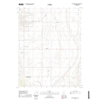
2020 Map of Sandy Creek Benches
USGS Topo · Published 2020About this map
Capitol Reef National Park dominates the southwestern corner of this topographic study, where the high desert terrain transitions through a series of dramatic geological lifts and erosional cuts. The landscape is defined by its verticality, from the broad elevations of Wildcat Mesa and Cedar Mesa down to the deeply incised paths of Divide Canyon and Red Canyon. A central hydrological feature, Sandy Creek, winds through the center of the sheet, creating the distinctive Elbow of the Sandy and the eponymous Sandy Creek Benches.
Find a feature on this map
19 named features on this map. Tap any name to fly to it.
Don’t see what you’re looking for? This feature index may not catch every label — zoom into the map to look around manually.
Map Details
Editions of this 2020 Sandy Creek Benches Map
This is the sole edition of this map. No revisions or reprints were ever made.
Other maps of this area

1885 · San Rafael
USGS Topo · 1:250,000

1885 · Fish Lake
USGS Topo · 1:250,000

1886 · Escalante
USGS Topo · 1:250,000

1886 · Henry Mountains
USGS Topo · 1:250,000

1892 · Henry Mountains
USGS Topo · 1:250,000

1896 · Fish Lake
USGS Topo · 1:250,000

1952 · Notom 4 SE
USGS Topo · 1:24,000

1952 · Notom 4 NW
USGS Topo · 1:24,000

1952 · Notom 4 SW
USGS Topo · 1:24,000

1952 · Notom 4 NE
USGS Topo · 1:24,000