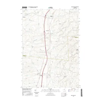
2016 Map of Sandy Creek
USGS Topo · Published 2016About this map
Sandy Creek and the adjacent village of Lacona serve as the primary population centers in this 2016 survey of the Oswego and Jefferson County border region. The landscape is defined by the network of tributaries feeding into the Lake Ontario basin, including the meandering paths of Little Sandy Cr and Lindsey Cr. The settlement pattern follows a clear north-south axis, with the historic railroad corridor and modern highway infrastructure connecting Pierrepont Manor, Mannsville, and the smaller hamlet of Cobbtown.
Find a feature on this map
85 named features on this map. Tap any name to fly to it.
Don’t see what you’re looking for? This feature index may not catch every label — zoom into the map to look around manually.
Map Details
Editions of this 2016 Sandy Creek Map
This is the sole edition of this map. No revisions or reprints were ever made.
Other maps of this area

1893 · Sackets Harbor
USGS Topo · 1:62,500

1895 · Sacketts Harbor
USGS Topo · 1:62,500

1895 · Pulaski
USGS Topo · 1:62,500

1895 · Watertown
USGS Topo · 1:62,500

1898 · Watertown
USGS Topo · 1:62,500

1903 · Orwell
USGS Topo · 1:62,500

1905 · Orwell
USGS Topo · 1:62,500

1908 · Watertown
USGS Topo · 1:62,500

1909 · Watertown
USGS Topo · 1:62,500

1942 · Sandy Creek
USGS Topo · 1:24,000