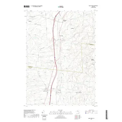
2019 Map of Sandy Creek
USGS Topo · Published 2019About this map
Sandy Creek and Lacona serve as the primary hubs in this region where the southern border of Jefferson County meets northern Oswego County. The landscape is defined by a dense network of watercourses flowing toward Lake Ontario, including Little Sandy Creek, Lindsey Creek, and Skinner Creek. These streams once dictated the placement of local industries and early settlements such as Mannsville and Ellisburg. Genealogists will find a high concentration of burial sites across the rural townships, from Woodlawn Cemetery and Maplewood Cemetery to the smaller Scripture Cemetery and Brewster Cemetery. The map also captures the higher elevations of the Tug Hill region's western edge, marked by landmarks like Torrey Hill, Wheat Hill, and Shoecraft Hill.
Find a feature on this map
86 named features on this map. Tap any name to fly to it.
Don’t see what you’re looking for? This feature index may not catch every label — zoom into the map to look around manually.
Map Details
Editions of this 2019 Sandy Creek Map
This is the sole edition of this map. No revisions or reprints were ever made.
Other maps of this area

1893 · Sackets Harbor
USGS Topo · 1:62,500

1895 · Sacketts Harbor
USGS Topo · 1:62,500

1895 · Pulaski
USGS Topo · 1:62,500

1895 · Watertown
USGS Topo · 1:62,500

1898 · Watertown
USGS Topo · 1:62,500

1903 · Orwell
USGS Topo · 1:62,500

1905 · Orwell
USGS Topo · 1:62,500

1908 · Watertown
USGS Topo · 1:62,500

1909 · Watertown
USGS Topo · 1:62,500

1942 · Sandy Creek
USGS Topo · 1:24,000