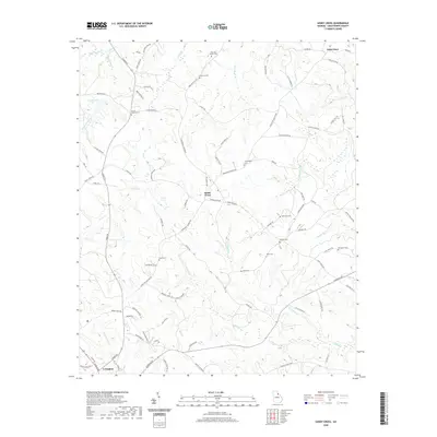
2020 Map of Sandy Cross
USGS Topo · Published 2020About this map
Lexington serves as the southern anchor for this section of Oglethorpe County, where the landscape is defined by the winding paths of Grove Cr and Little Indian Cr. The rural character of the region is evident in the dense concentration of family burial grounds scattered across the terrain, including the Jarrell - Howard Cem near the central crossroads and the McCannon Cem further east. These landmarks, along with the small communities of Sandy Cross and Point Peter, suggest a long-standing pattern of localized settlement and family-centered agriculture.
Find a feature on this map
90 named features on this map. Tap any name to fly to it.
Don’t see what you’re looking for? This feature index may not catch every label — zoom into the map to look around manually.
Map Details
Editions of this 2020 Sandy Cross Map
This is the sole edition of this map. No revisions or reprints were ever made.
Other maps of this area

1891 · Carnesville
USGS Topo · 1:125,000

1893 · Elberton
USGS Topo · 1:125,000

1906 · Crawfordville
USGS Topo · 1:125,000

1953 · Athens
USGS Topo · 1:250,000

1954 · Greenville
USGS Topo · 1:250,000

1958 · Greenville
USGS Topo · 1:250,000

1958 · Athens
USGS Topo · 1:250,000

1958 · Danielsville
USGS Topo · 1:62,500

1958 · Elberton
USGS Topo · 1:62,500

1959 · Athens
USGS Topo · 1:250,000