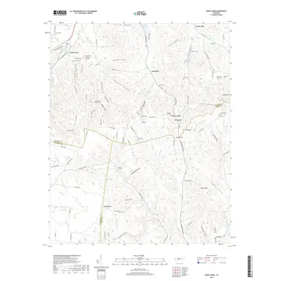
2019 Map of Sandy Hook
USGS Topo · Published 2019About this map
Sandy Hook and Jonestown sit along the high ridges of southern Tennessee, where Maury, Lawrence, and Giles Counties meet. The landscape is defined by its deep hollows and narrow ridges, such as Pickard Hollow and Stillhouse Hollow, reflecting a long-standing agricultural and rural settlement pattern. The density of small family cemeteries, including the Bumpass- King Cem and Sheepneck Cem, provides significant genealogical value for researchers tracing nineteenth and twentieth-century inhabitants of this upland terrain.
Find a feature on this map
118 named features on this map. Tap any name to fly to it.
Don’t see what you’re looking for? This feature index may not catch every label — zoom into the map to look around manually.
Map Details
Editions of this 2019 Sandy Hook Map
This is the sole edition of this map. No revisions or reprints were ever made.
Other maps of this area

1901 · Colombia
USGS Topo · 1:125,000

1936 · Sandy Hook
USGS Topo · 1:24,000

1936 · Mt Joy
USGS Topo · 1:24,000

1936 · Milky Way
USGS Topo · 1:24,000

1936 · Campbellsville
USGS Topo · 1:24,000

1936 · Ethridge
USGS Topo · 1:24,000

1936 · Crestview
USGS Topo · 1:24,000

1936 · Mount Pleasant
USGS Topo · 1:24,000

1936 · Columbia
USGS Topo · 1:24,000

1936 · Lynnville
USGS Topo · 1:24,000