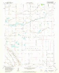
1962 Map of Sandy Mush
USGS Topo · Published 1963About this map
Sandy Mush Country is defined by a complex hydrology of natural creeks and engineered water management systems in this 1962 survey of the San Joaquin Valley. The landscape is dominated by the seasonal wetlands and riparian corridors of Owens Creek, Duck Slough, and Deadman Creek, which flow toward the marshy expanse of Turner Island in the southwest. The presence of the Merced National Wildlife Refuge underscores the ecological importance of these water bodies, particularly the numerous ponds labeled Duck Pond scattered throughout the quadrangle.
Find a feature on this map
43 named features on this map. Tap any name to fly to it.
Don’t see what you’re looking for? This feature index may not catch every label — zoom into the map to look around manually.
Map Details
Editions of this 1962 Sandy Mush Map
This is the sole edition of this map. No revisions or reprints were ever made.
Other maps of this area
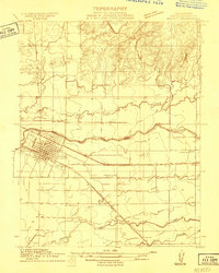
1914 · Merced
USGS Topo · 1:31,680
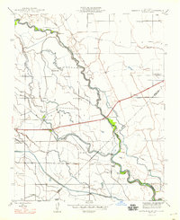
1916 · Santa Rita Bridge
USGS Topo · 1:24,000
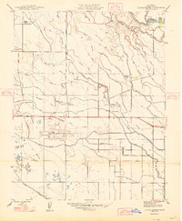
1916 · Delta Ranch
USGS Topo · 1:24,000
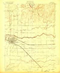
1917 · Merced
USGS Topo · 1:31,680
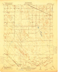
1918 · Arena
USGS Topo · 1:31,680
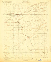
1918 · Bliss Ranch
USGS Topo · 1:31,680
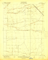
1918 · Lingard
USGS Topo · 1:31,680
1918 · Atwater
USGS Topo · 1:31,680
1918 · Sandy Mush
USGS Topo · 1:31,680
1918 · Turner Ranch
USGS Topo · 1:31,680