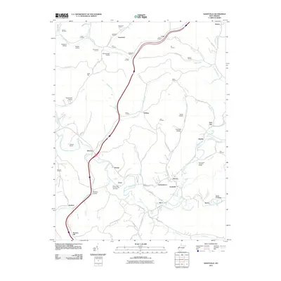
2011 Map of Sandyville
USGS Topo · Published 2011About this map
Sandyville and the winding course of Sandy Creek anchor this West Virginia landscape, where the intersection of Interstate 77 and local routes like Old Us HWY 21 reflects the modern transition of a rural community. Significant genealogical resources are scattered throughout the hills, including family-named sites such as Derenburger Cemetery, Safreed Cemetery, and Staats Cemetery. The topography is defined by narrow valleys like Deadman Hollow and Wolfpen Hollow, while the Sarvis Fork Covered Bridge serves as a notable landmark near Odaville. Small settlements such as Silverton, Nuzums, and Cuba are connected by a dense network of creek-following roads, including Jackson Run Rd and Drift Run Rd. The area maintains its character through landmarks like the Green Hills Country Club Lake Dam and distinct natural features such as Polecat Bend.
Find a feature on this map
107 named features on this map. Tap any name to fly to it.
Don’t see what you’re looking for? This feature index may not catch every label — zoom into the map to look around manually.
Map Details
Editions of this 2011 Sandyville Map
This is the sole edition of this map. No revisions or reprints were ever made.
Other maps of this area

1906 · Belleville
USGS Topo · 1:62,500

1907 · Keno
USGS Topo · 1:62,500

1907 · Ripley
USGS Topo · 1:62,500

1908 · Ravenswood
USGS Topo · 1:62,500

1924 · Belleville
USGS Topo · 1:62,500

1926 · Ravenswood
USGS Topo · 1:62,500

1926 · Belleville
USGS Topo · 1:62,500

1926 · Ripley
USGS Topo · 1:62,500

1928 · Ravenswood
USGS Topo · 1:62,500

1928 · Ripley
USGS Topo · 1:62,500