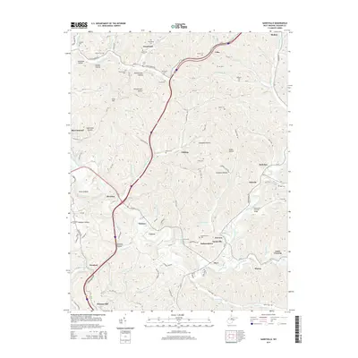
2014 Map of Sandyville
USGS Topo · Published 2014About this map
The Sarvis Fork Covered Bridge spans Sarvis Fork in the southeastern portion of this Jackson County landscape, representing a significant historical landmark in a region defined by its numerous watercourses and hollows. The area is characterized by a high density of family-named cemeteries and landmarks, such as Slaven Cem, Derenburger Cem, and Rankin Cem, providing a clear record of local lineage and the early families who settled the valleys of Sandy Creek and the Left Fork Sandy Creek.
Find a feature on this map
133 named features on this map. Tap any name to fly to it.
Don’t see what you’re looking for? This feature index may not catch every label — zoom into the map to look around manually.
Map Details
Editions of this 2014 Sandyville Map
This is the sole edition of this map. No revisions or reprints were ever made.
Other maps of this area

1906 · Belleville
USGS Topo · 1:62,500

1907 · Keno
USGS Topo · 1:62,500

1907 · Ripley
USGS Topo · 1:62,500

1908 · Ravenswood
USGS Topo · 1:62,500

1924 · Belleville
USGS Topo · 1:62,500

1926 · Ravenswood
USGS Topo · 1:62,500

1926 · Belleville
USGS Topo · 1:62,500

1926 · Ripley
USGS Topo · 1:62,500

1928 · Ravenswood
USGS Topo · 1:62,500

1928 · Ripley
USGS Topo · 1:62,500