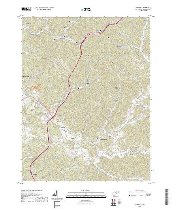
2023 Map of Sandyville
USGS Topo · Published 2023About this map
Sandy Creek and its complex network of tributaries dictate the settlement patterns of this Jackson County landscape, where deep hollows and high ridges separate historic rural communities. The map reveals the geography of local education and faith through landmarks like the Silverton-Red Bush School and numerous family cemeteries, including the Derenburger Cem and Nesselroad Cem. The primary transportation corridors follow the natural topography, with Silverton and Sandyville serving as focal points for the surrounding hills. This contemporary survey captures the enduring rural character of the area, from the winding path of Little Sandy Creek to the named drainages such as Suck Run and Squirrel Lick. The distribution of family-named landmarks like Puckett Ridge and Staats Hollow provides essential context for researchers tracing the historical footprint of the region's inhabitants across a landscape defined by its rugged water-carved terrain.
Find a feature on this map
130 named features on this map. Tap any name to fly to it.
Don’t see what you’re looking for? This feature index may not catch every label — zoom into the map to look around manually.
Map Details
Editions of this 2023 Sandyville Map
This is the sole edition of this map. No revisions or reprints were ever made.
Other maps of this area

1906 · Belleville
USGS Topo · 1:62,500

1907 · Keno
USGS Topo · 1:62,500

1907 · Ripley
USGS Topo · 1:62,500

1908 · Ravenswood
USGS Topo · 1:62,500

1924 · Belleville
USGS Topo · 1:62,500

1926 · Ravenswood
USGS Topo · 1:62,500

1926 · Belleville
USGS Topo · 1:62,500

1926 · Ripley
USGS Topo · 1:62,500

1928 · Ravenswood
USGS Topo · 1:62,500

1928 · Ripley
USGS Topo · 1:62,500