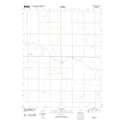
2009 Map of Sanford
USGS Topo · Published 2009About this map
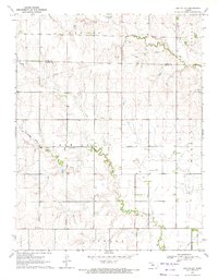
Pawnee River meanders across this Pawnee County landscape, defining the character of the central Kansas plains in the early 21st century. The map centers on Sanford, a small settlement situated near a sharp bend in the river, connected to the surrounding countryside by Moffet Bridge. The region shows a transition between agricultural land and the energy industry, evidenced by the Eddy Oil Field located in the southeast corner. Tributaries like Cocklebur Creek and Sawmill Creek drain the surrounding fields into the river valley, while the locality of Bert Wettar stands along the western edge of the quadrangle. This 2009 survey by the U.S. Geological Survey documents the enduring rural structure of the High Plains, where watercourses and section lines dictate the placement of local infrastructure and namesake landmarks.
Find a feature on this map
7 named features on this map. Tap any name to fly to it.
Don’t see what you’re looking for? This feature index may not catch every label — zoom into the map to look around manually.
Map Details
Editions of this 2009 Sanford Map
This is the sole edition of this map. No revisions or reprints were ever made.
Other maps of this area

1889 · Larned
USGS Topo · 1:125,000

1891 · Larned
USGS Topo · 1:125,000

1955 · Great Bend
USGS Topo · 1:250,000

1957 · Great Bend
USGS Topo · 1:250,000

1958 · Great Bend
USGS Topo · 1:250,000

1970 · Fort Larned
USGS Topo · 1:24,000
1970 · Rozel
USGS Topo · 1:24,000
1970 · Sanford
USGS Topo · 1:24,000
1970 · Rush Center SW
USGS Topo · 1:24,000
1970 · Ash Valley
USGS Topo · 1:24,000