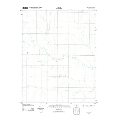
2012 Map of Sanford
USGS Topo · Published 2012About this map
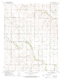
Pawnee River meanders across this Pawnee County landscape, defining the rural geography of the area surrounding Sanford. The map documents a classic Great Plains agricultural and industrial pattern, where small settlements like Bert Wettar sit amid a grid of local roads and sections. The river's winding course is a primary physical feature, joined by tributaries such as Sawmill Cr and Cocklebur Cr. Modern resource extraction is evident in the southern portion of the quadrangle at the Eddy Oil Field, showing how energy development overlays the traditional farming landscape. Evidence of local infrastructure is noted at the Moffet Bridge crossing, a key point of transit over the river for the surrounding community during this early 21st-century period.
Find a feature on this map
7 named features on this map. Tap any name to fly to it.
Don’t see what you’re looking for? This feature index may not catch every label — zoom into the map to look around manually.
Map Details
Editions of this 2012 Sanford Map
This is the sole edition of this map. No revisions or reprints were ever made.
Other maps of this area

1889 · Larned
USGS Topo · 1:125,000

1891 · Larned
USGS Topo · 1:125,000

1955 · Great Bend
USGS Topo · 1:250,000

1957 · Great Bend
USGS Topo · 1:250,000

1958 · Great Bend
USGS Topo · 1:250,000

1970 · Fort Larned
USGS Topo · 1:24,000
1970 · Rozel
USGS Topo · 1:24,000
1970 · Sanford
USGS Topo · 1:24,000
1970 · Rush Center SW
USGS Topo · 1:24,000
1970 · Ash Valley
USGS Topo · 1:24,000