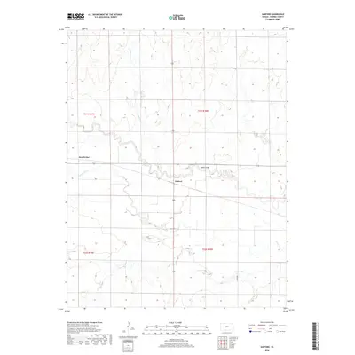
2018 Map of Sanford
USGS Topo · Published 2018About this map
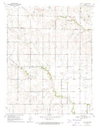
The Pawnee River meanders sharply across this central Kansas landscape, defining the geographic character of the region. This 2018 survey documents the small settlement of Sanford and the location of Bert Wettar as they appeared in the early 21st century. The river is fed by the northern drainage of Cocklebur Cr, while human movement is facilitated by rural routes like Q Rd and 210th Ave.
Find a feature on this map
11 named features on this map. Tap any name to fly to it.
Don’t see what you’re looking for? This feature index may not catch every label — zoom into the map to look around manually.
Map Details
Editions of this 2018 Sanford Map
This is the sole edition of this map. No revisions or reprints were ever made.
Other maps of this area

1889 · Larned
USGS Topo · 1:125,000

1891 · Larned
USGS Topo · 1:125,000

1955 · Great Bend
USGS Topo · 1:250,000

1957 · Great Bend
USGS Topo · 1:250,000

1958 · Great Bend
USGS Topo · 1:250,000

1970 · Fort Larned
USGS Topo · 1:24,000
1970 · Rozel
USGS Topo · 1:24,000
1970 · Sanford
USGS Topo · 1:24,000
1970 · Rush Center SW
USGS Topo · 1:24,000
1970 · Ash Valley
USGS Topo · 1:24,000