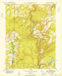
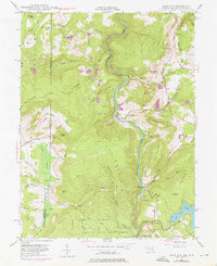
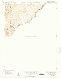
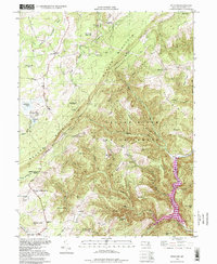
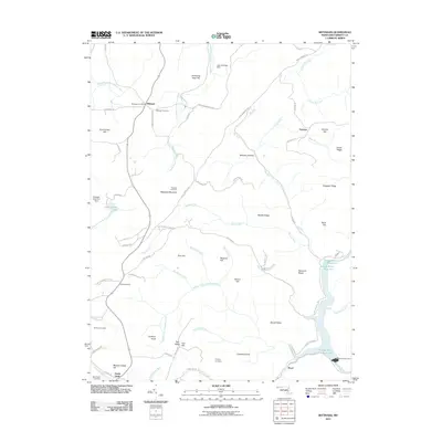
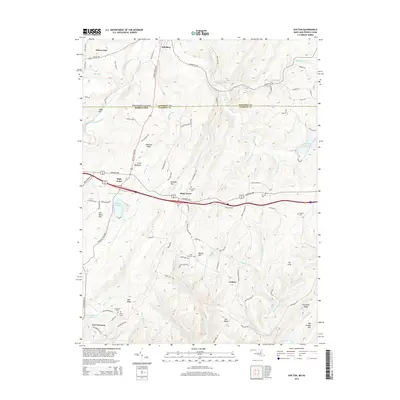
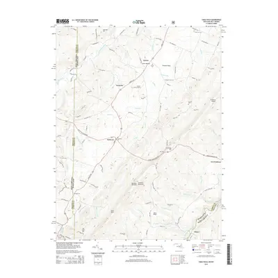
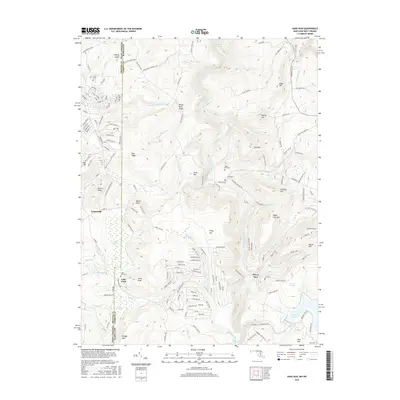
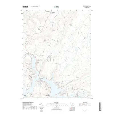
1949 Map of Sang Run
USGS Topo · Published 1949About this map
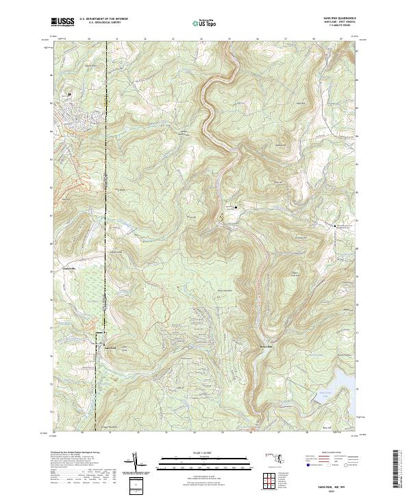
Youghiogheny River carves a deep path through the center of this 1949 survey, defining the industrial and natural geography of western Maryland's Garrett County. Near Sang Run, the river's descent is marked by Gap Falls, while further downstream a Power Plant and Surge Tank signal the mid-century harnessing of these waters. To the east, the edge of Deep Creek Lake appears, feeding into Deep Creek and Fork Run.
Find a feature on this map
99 named features on this map. Tap any name to fly to it.
Don’t see what you’re looking for? This feature index may not catch every label — zoom into the map to look around manually.
Map Details
Editions of this 1949 Sang Run Map
This is the sole edition of this map. No revisions or reprints were ever made.
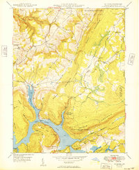
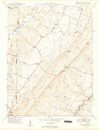
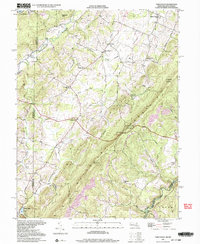
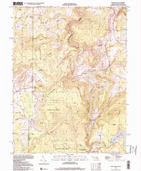
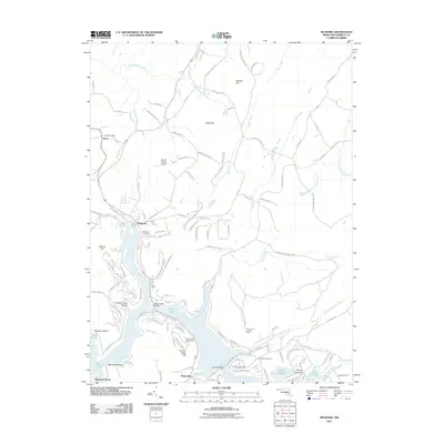
Historical Maps of Lake Ford Through Time
40 maps found
1947 Avilton
Garrett County, MD
1947 Bittinger
Garrett County, MD
1947 McHenry
Garrett County, MD
1947 Sang Run
Garrett County, MD
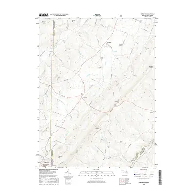
1948 Table Rock
Garrett County, MD
1949 Avilton
Garrett County, MD
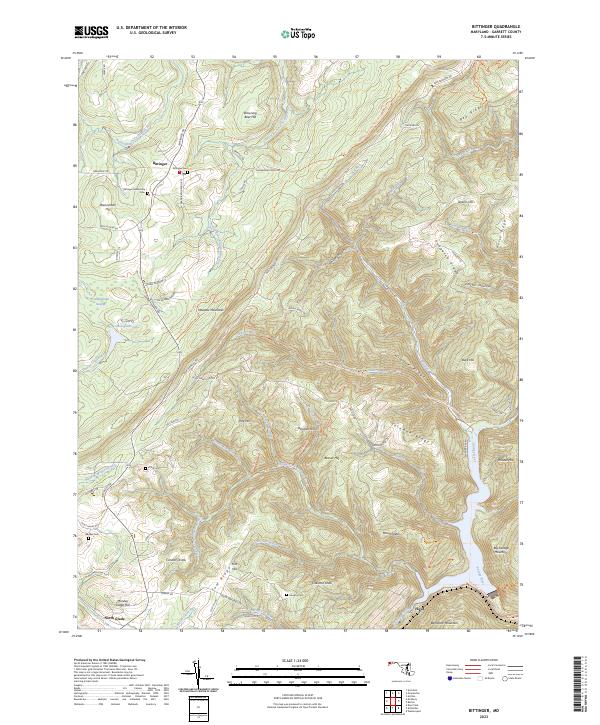
1949 Bittinger
Garrett County, MD
1949 Kempton
Garrett County, MD
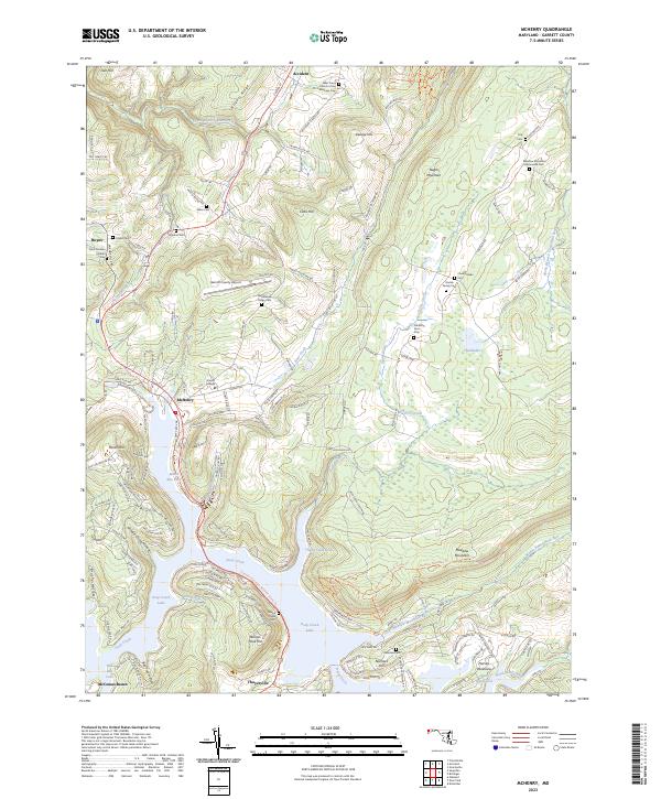
1949 McHenry
Garrett County, MD
1949 Sang Run
Garrett County, MD
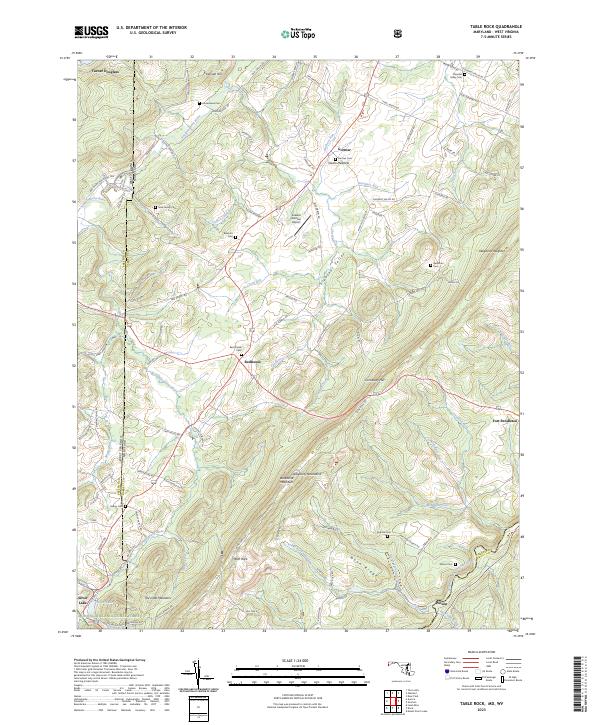
1949 Table Rock
Garrett County, MD
1977 Avilton
Garrett County, MD
1994 Bittinger
Garrett County, MD
1997 Table Rock
Garrett County, MD
1999 Sang Run
Garrett County, MD
2011 Avilton
Garrett County, MD
2011 Bittinger
Garrett County, MD
2011 McHenry
Garrett County, MD
2011 Sang Run
Garrett County, MD
2011 Table Rock
Garrett County, MD
2014 Avilton
Garrett County, MD
2014 Bittinger
Garrett County, MD
2014 McHenry
Garrett County, MD
2014 Sang Run
Garrett County, MD
2014 Table Rock
Garrett County, MD
2016 Avilton
Garrett County, MD
2016 Bittinger
Garrett County, MD
2016 McHenry
Garrett County, MD
2016 Sang Run
Garrett County, MD
2016 Table Rock
Garrett County, MD
2019 Avilton
Garrett County, MD
2019 Bittinger
Garrett County, MD
2019 McHenry
Garrett County, MD
2019 Sang Run
Garrett County, MD
2019 Table Rock
Garrett County, MD
2023 Avilton
Garrett County, MD
2023 Bittinger
Garrett County, MD
2023 McHenry
Garrett County, MD
2023 Sang Run
Garrett County, MD
2023 Table Rock
Garrett County, MD